
Big Tornado Day AGAIN - Storm Chasers on the Ground
Apr 24, 2026•Channel
AI Analysis
Data from YouTube Data API v3•Updated Just now
Video Overview
Video Details
Published2 months ago
Duration5:38:58
Video IDUB9KtBbnIk8
Languageen-US
CategoryNews & Politics
PrivacyPublic
Made for KidsNo
Video TypeRegular Video
Performance Metrics
Views385.8K
Likes9.2K
Comments120
Engagement Rate2.41%
Likes per 100 views2.38
Comments per 1K views0.31
Video Tags
Description
🌪️ SEVERE WEATHER OUTLOOK – Thursday, April 23, 2026 (11:15AM CDT Update)
SPC Risk Level: ENHANCED (Level 3 of 5)
Valid through April 23, 2026 12:00 PM CDT
📍 Major Cities in Risk Zones
🟠 ENHANCED Risk: Wichita, KS, Tulsa, OK, Topeka, KS, Bartlesville, OK
🟡 SLIGHT Risk: Kansas City, MO, Des Moines, IA, St. Louis, MO, Springfield, MO
🟢 MARGINAL Risk: Omaha, NE, Minneapolis, MN, Oklahoma City, OK
🌪️ Tornado Risk Zones
🔴 15% Tornado Risk (Discrete supercells near triple point with strong tornado potential): Wichita, KS, Tulsa, OK, Bartlesville, OK
🟡 10% Tornado Risk (Occasional tornadoes possible with mixed storm modes): Topeka, KS, Kansas City, MO
What the Percentages Mean
A 15% tornado risk means there is a 1 in 7 chance of a tornado within 25 miles of a point. This highest risk area near the KS/OK border supports strong tornado potential with discrete supercells developing near the triple point this evening.
📝 Overview
A complex synoptic setup features a southeastward moving midlevel trough over southern British Columbia and Alberta interacting with a northeastward moving trough over the western Dakotas. This will produce a deep closed low over southern Saskatchewan and an occluding surface cyclone weakening across southern Manitoba by evening. A trailing cold front will advance across Minnesota, Iowa, Kansas, Missouri, and northern Oklahoma.
Low-level moisture will surge northward into Iowa and Minnesota ahead of the front beneath an elevated mixed layer. Despite some cloud cover limiting surface heating in the northern areas, the primary severe threat will develop late afternoon into evening across eastern Kansas and northern Oklahoma near the cold front/dryline triple point. Here, mid 60s dewpoints and steep midlevel lapse rates will yield MLCAPE of 2000-3000 J/kg with sufficient deep-layer shear for supercells.
Storm initiation is expected by mid afternoon along the cold front in Kansas, with discrete supercells capable of producing very large hail (2-3 inches). Tornado potential will peak this evening as low-level shear increases near the KS/OK border. Upscale growth will favor a more linear mode with damaging wind gusts spreading southeast overnight into northeast Oklahoma and southwest Missouri. Storm development along the Oklahoma dryline remains uncertain but could support large hail and an evening tornado threat if storms form.
⛈️ Hazards Include
🧊 Very large hail (2–3 inches possible with supercells)
🌪️ Strong tornadoes possible with discrete supercells near the triple point
💨 Occasional damaging wind gusts with linear convective mode overnight
🕓 Timeline
12 PM–4 PM CDT: Storm initiation along cold front in eastern Kansas, large hail threat begins
4 PM–8 PM CDT: Peak tornado threat near KS/OK border with discrete supercells
8 PM–12 AM CDT: Transition to linear mode with damaging wind gusts spreading southeast overnight
12 AM–6 AM CDT: Overnight evolution into northeast Oklahoma and southwest Missouri, diminishing threat
📌 Regional Notes
🔴 Eastern Kansas/Northern Oklahoma → Triple point area: Strong tornado potential with large hail and damaging winds
🟠 Southern Kansas → Along cold front: Very large hail and occasional tornadoes possible
🟡 Missouri Valley → Northeast MO and SW IA: Occasional wind damage and large hail possible
⚠️ Stay Weather-Aware
Residents in eastern Kansas and northern Oklahoma should remain vigilant this afternoon and evening as supercells capable of producing strong tornadoes and very large hail develop near the KS/OK border. Monitor updates closely, especially in Tulsa, Wichita, and Bartlesville, as conditions may rapidly evolve.
———————————
In-Vehicle
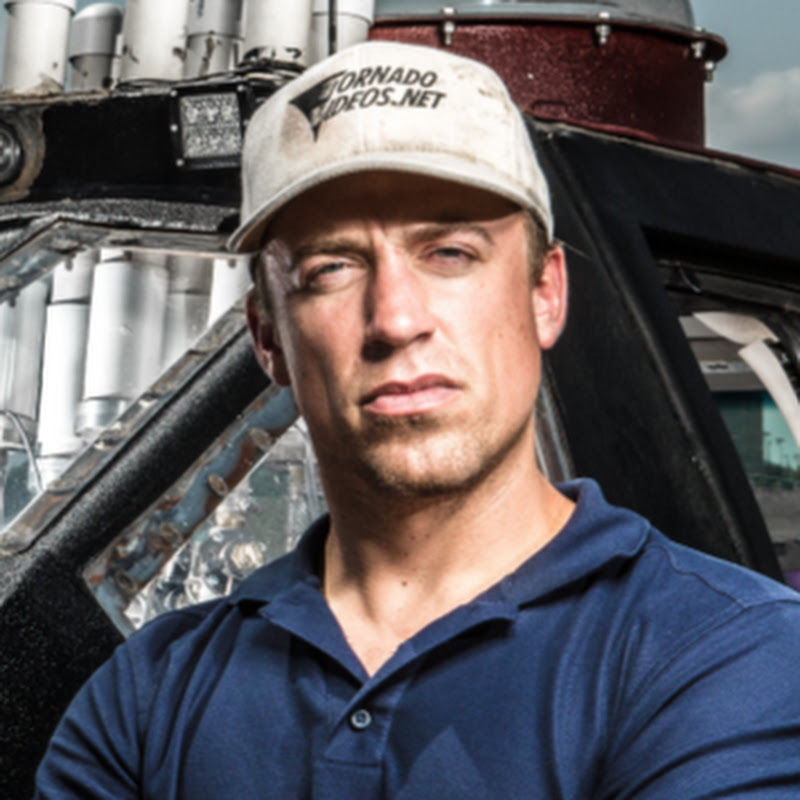
Driver, Man-of-Action - @ReedTimmerWx
Navigator, Man-of-Music - @localmanweatherofficial
Engineer, Man-of-Iron - @willclay25
Studio
Guy in the corner - @brianvotoole, but he doesn't really post anything. he's just laying in the cut, you know?
Thanks United Cajun Navy - https://unitedcajunnavy.org/